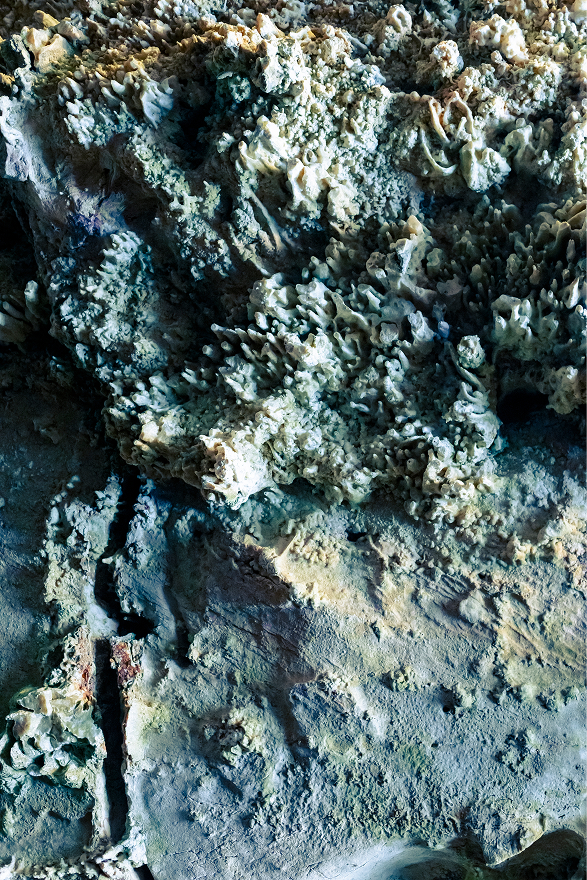
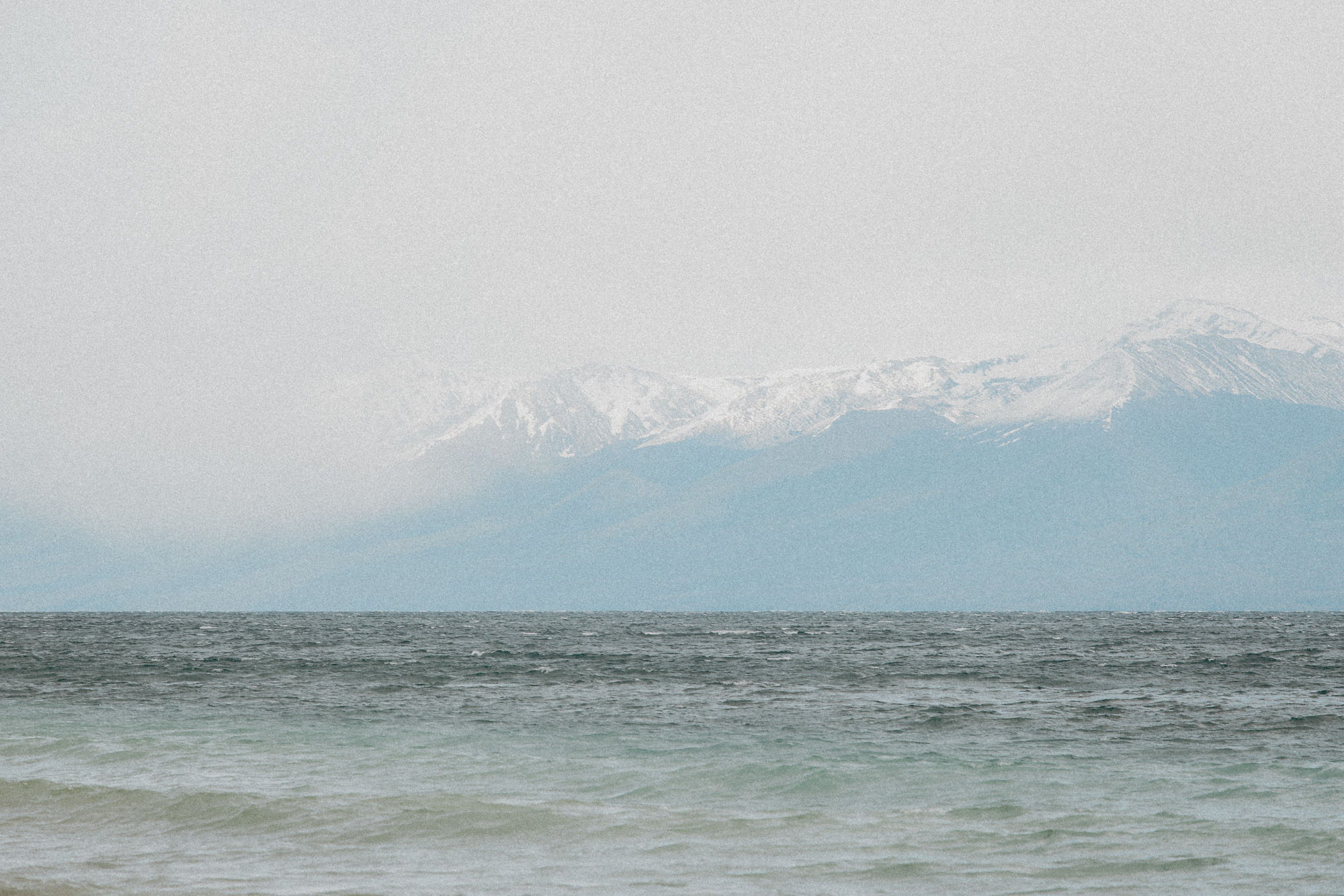
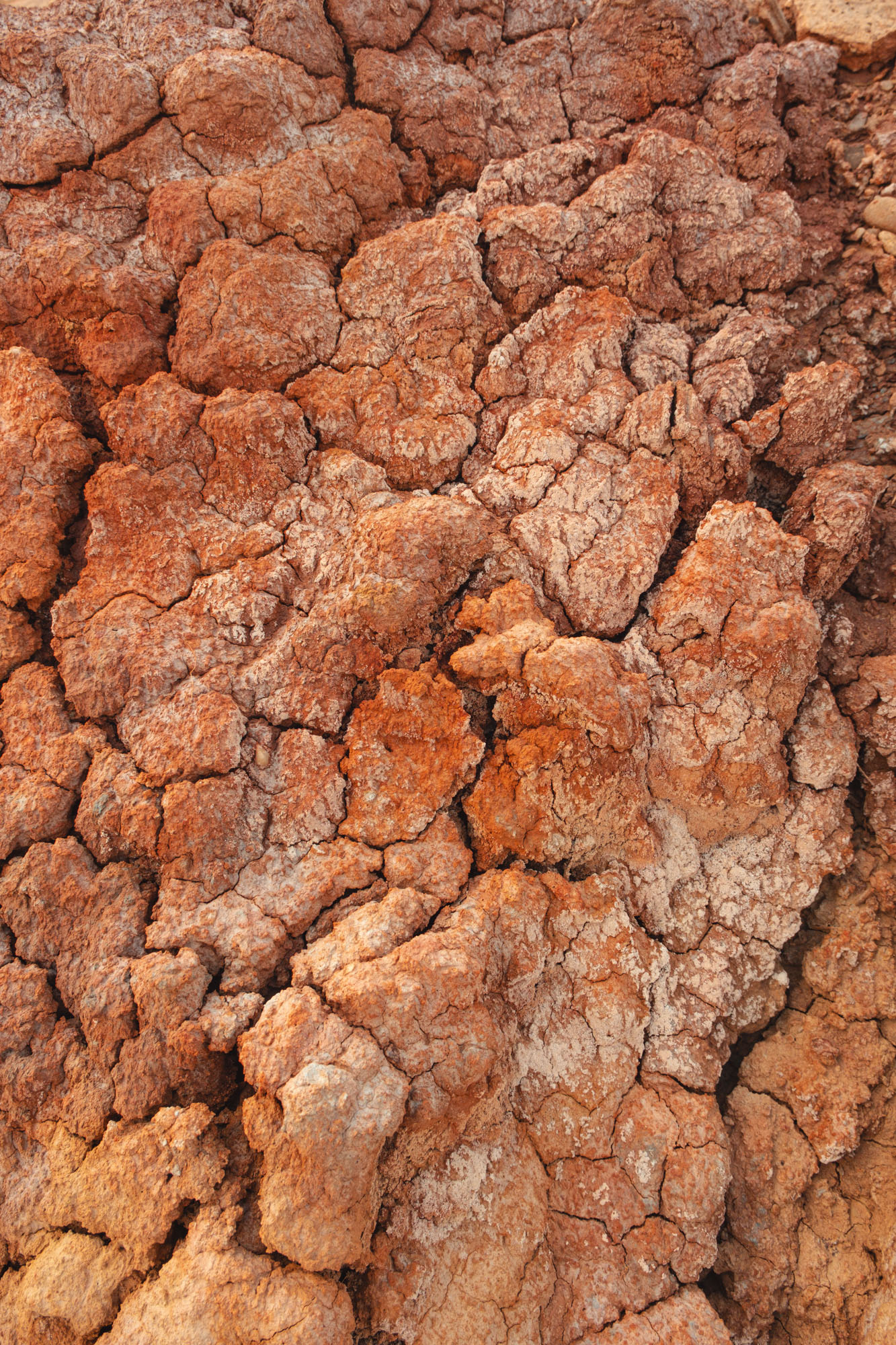
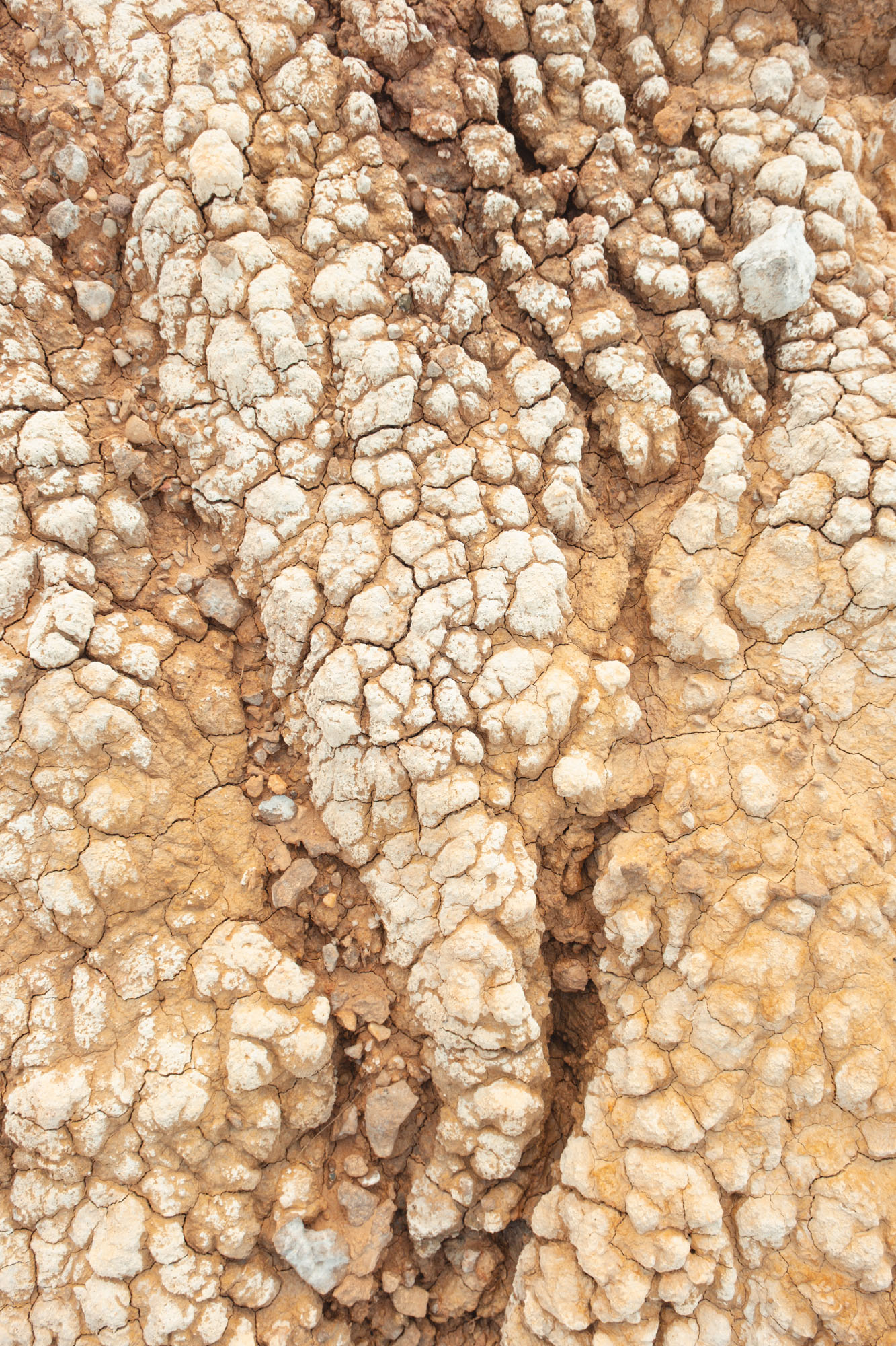
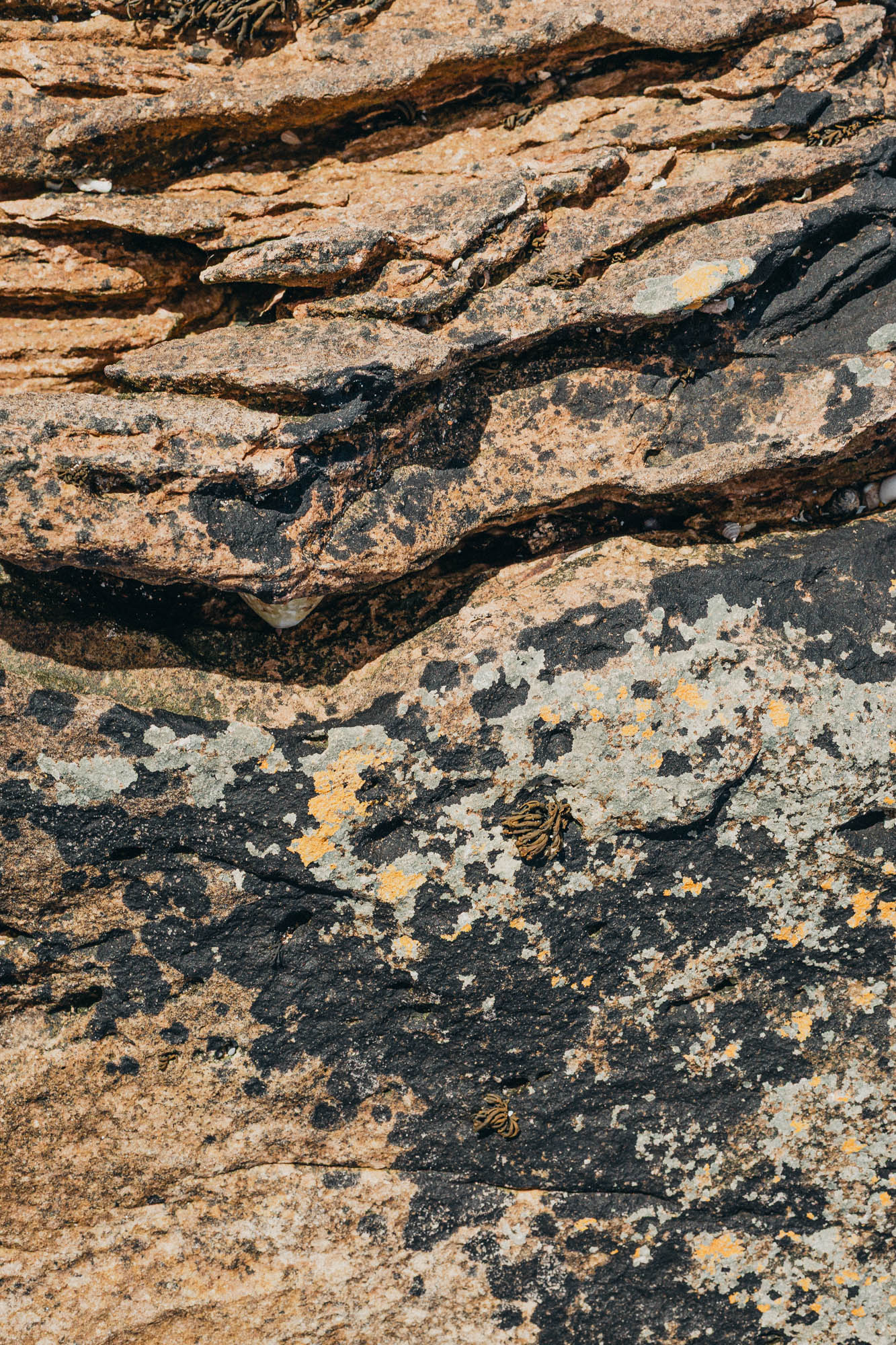
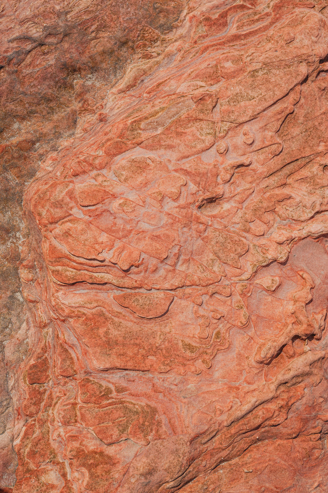
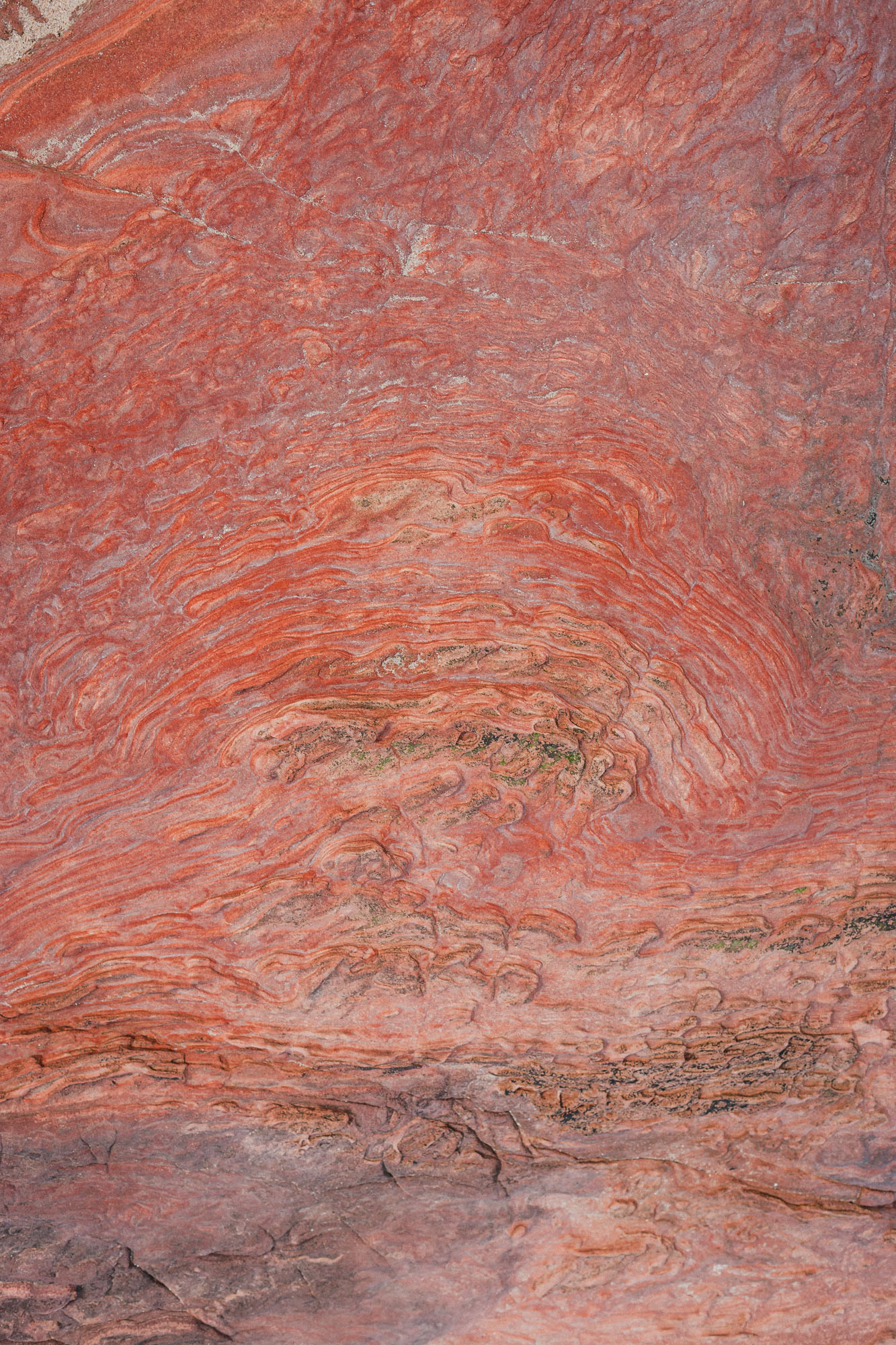
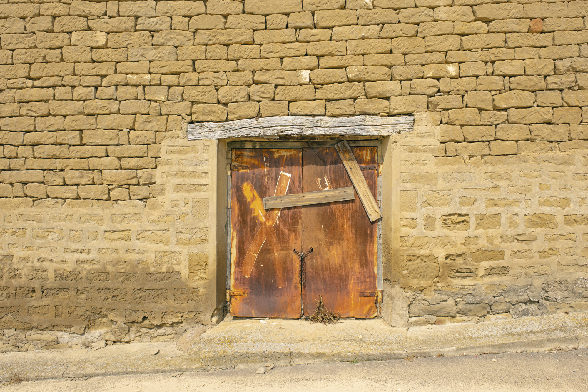
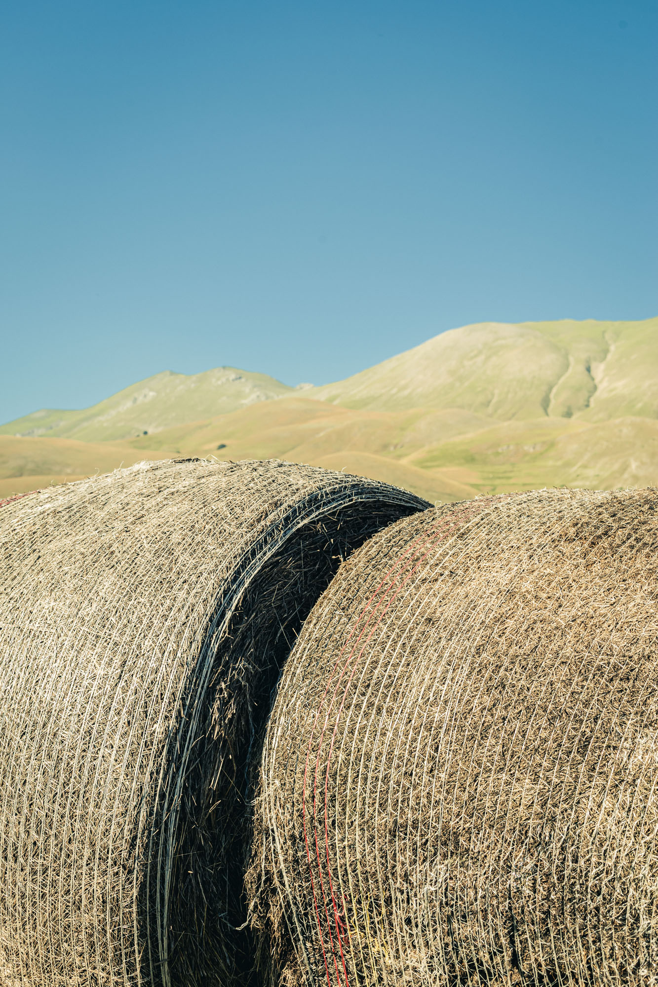
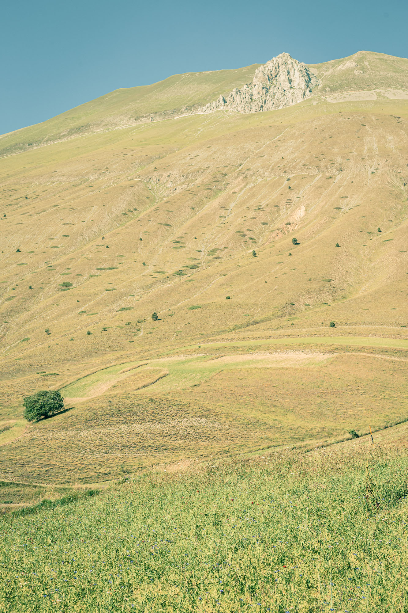
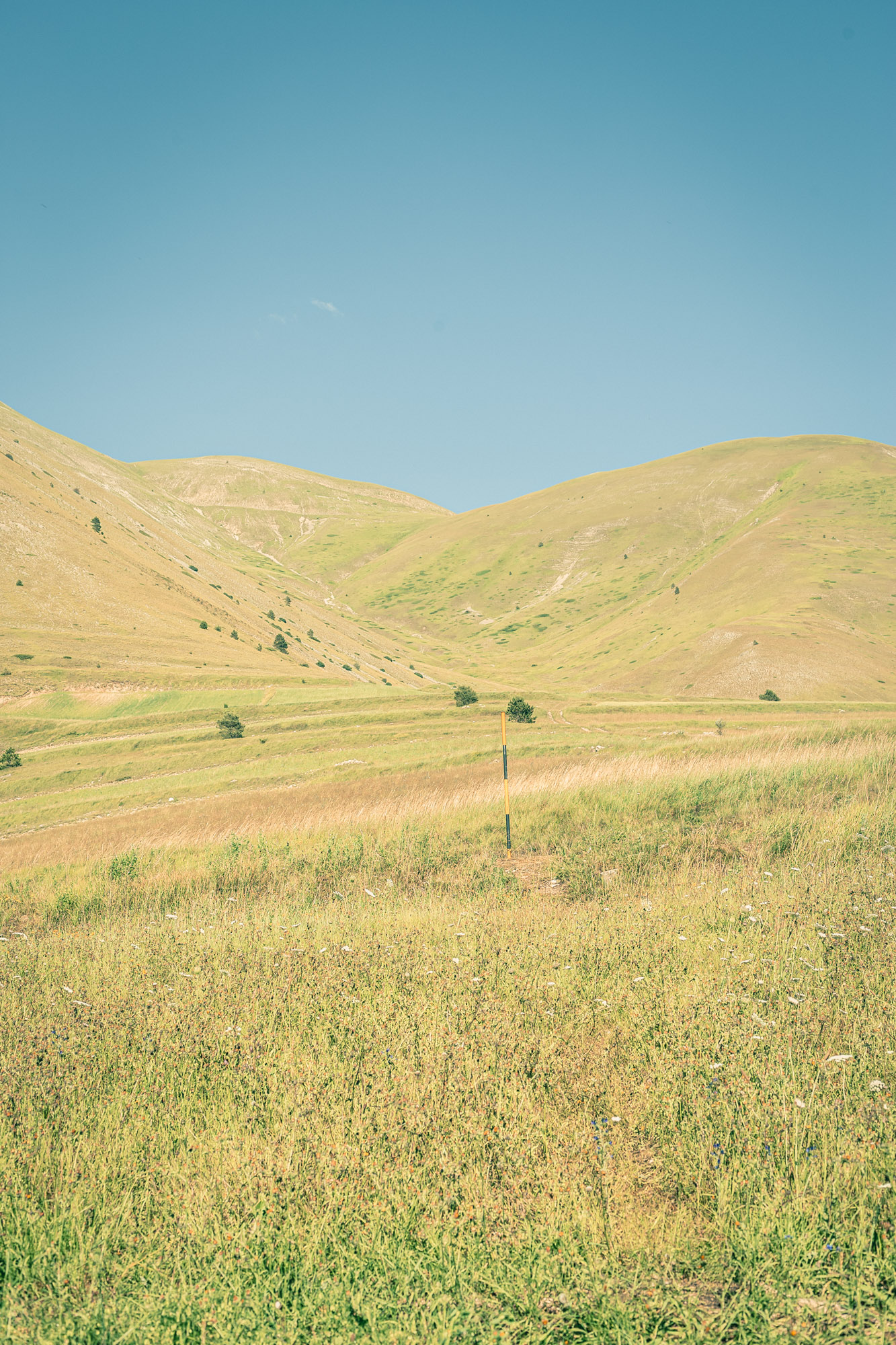
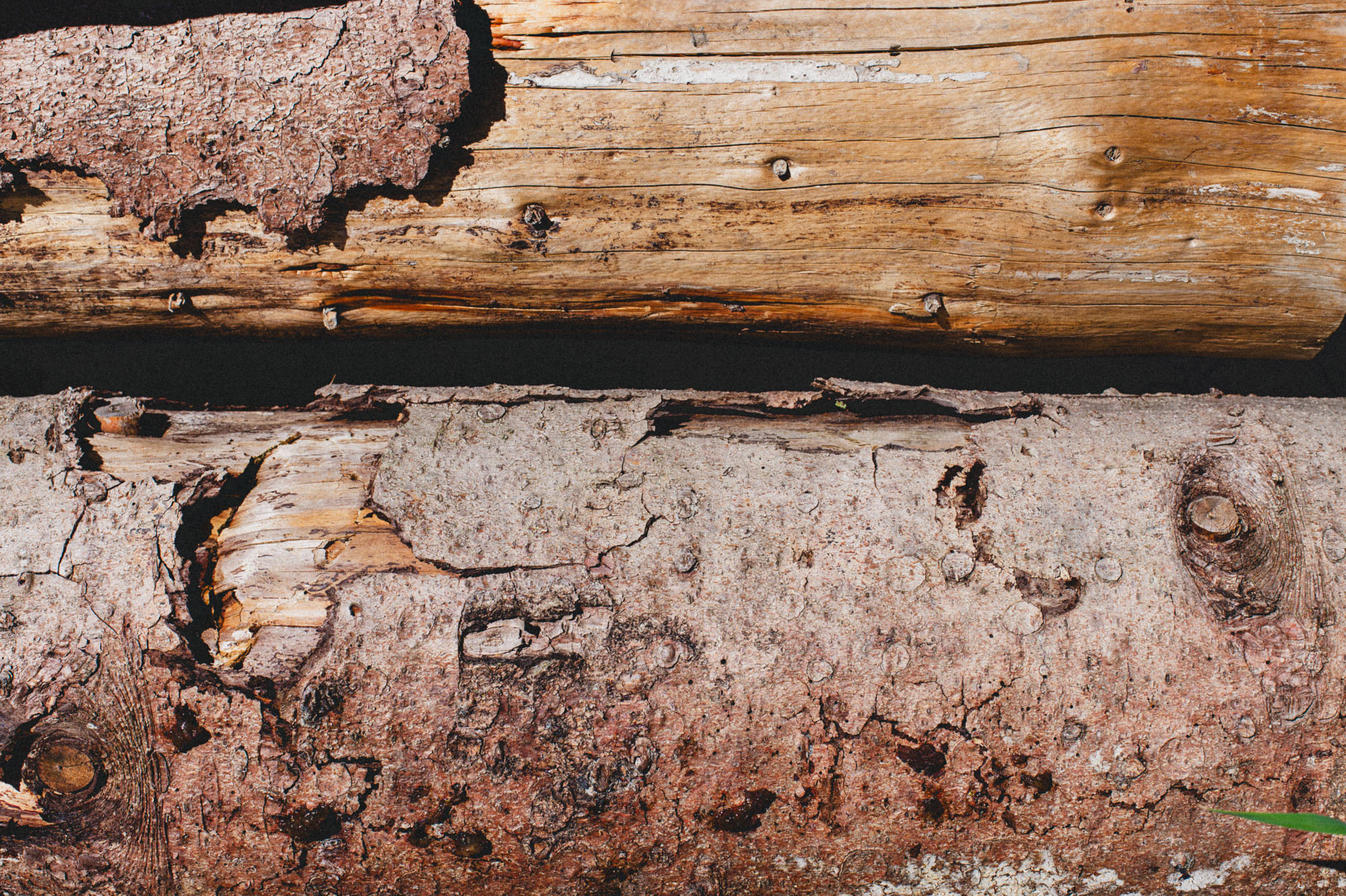
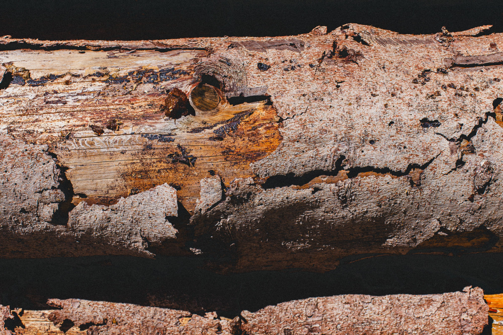
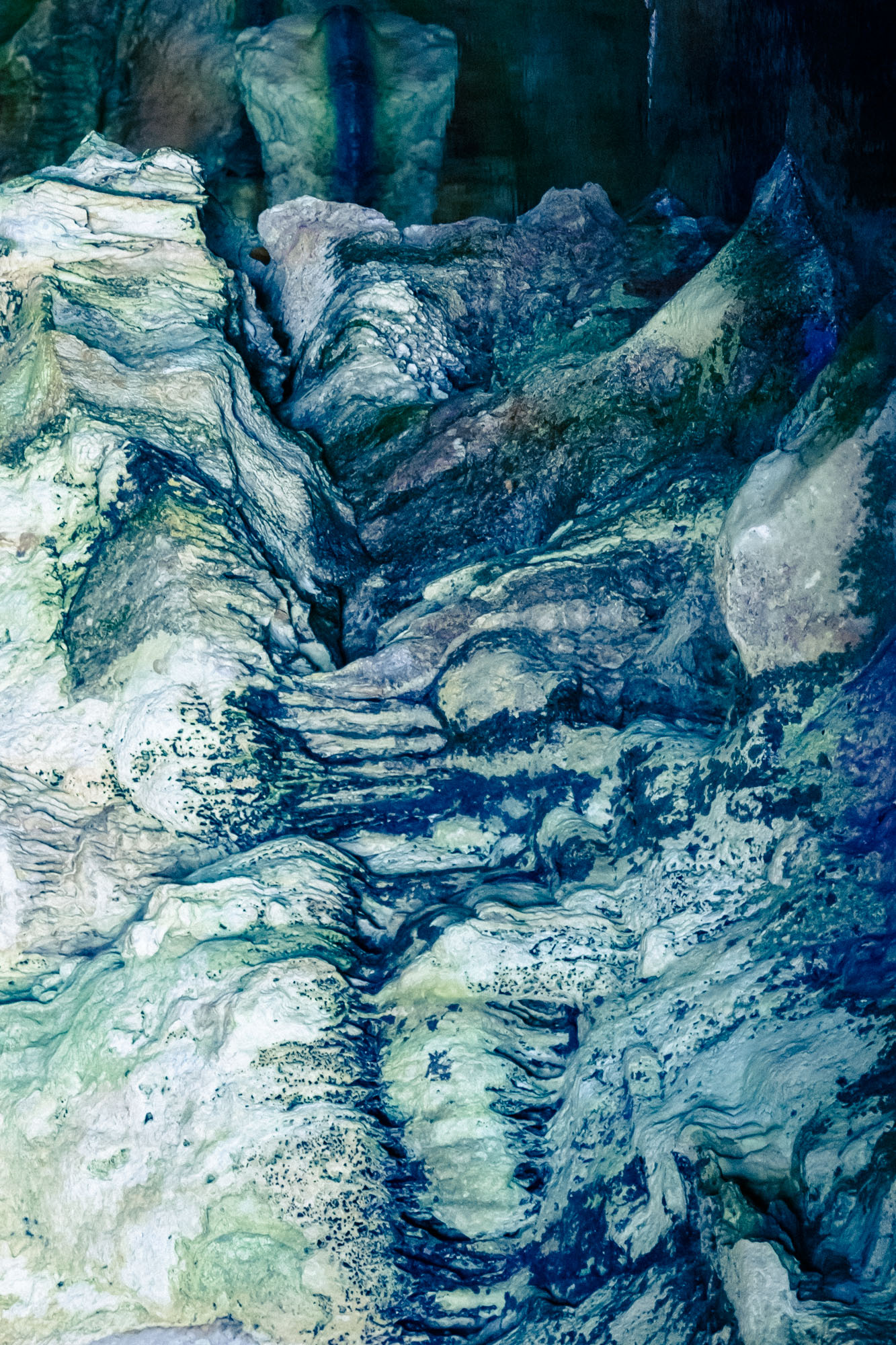
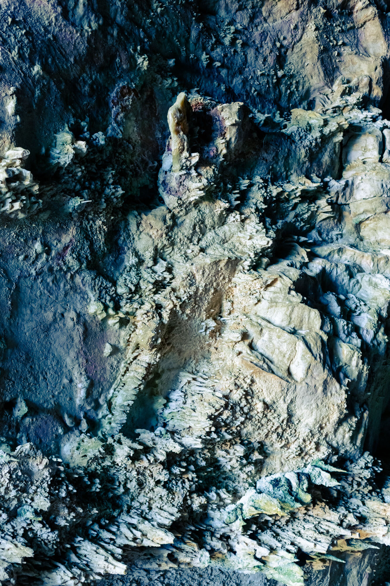
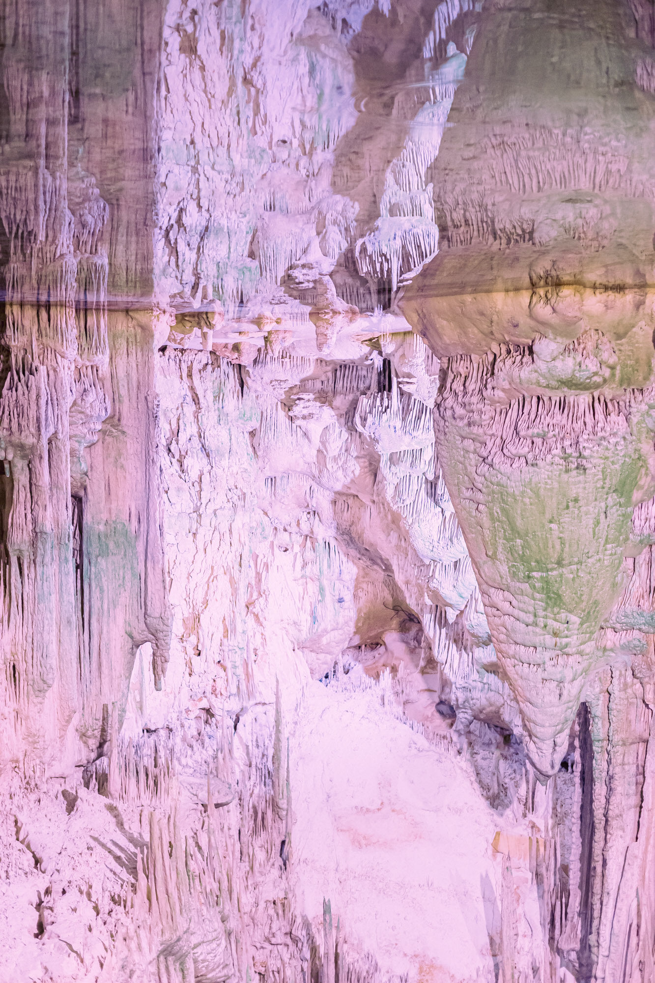
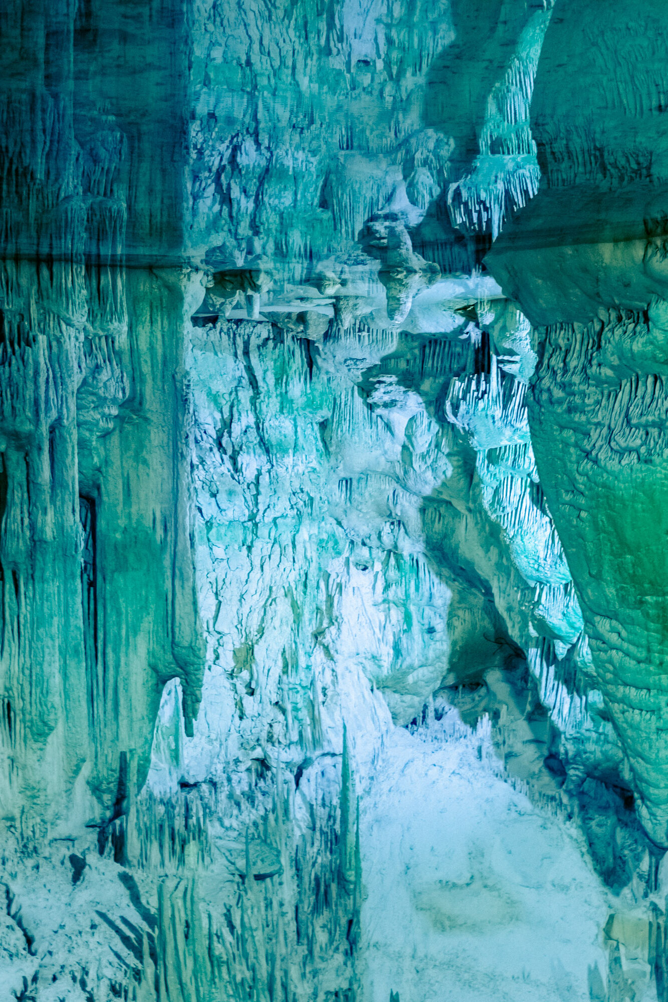
Visual Topographies is an evolving research project that examines the relationship between representation, structure, and territory. It functions as a visual laboratory: through repetition, texture, and form, the images investigate how we perceive and organise the spaces we inhabit.
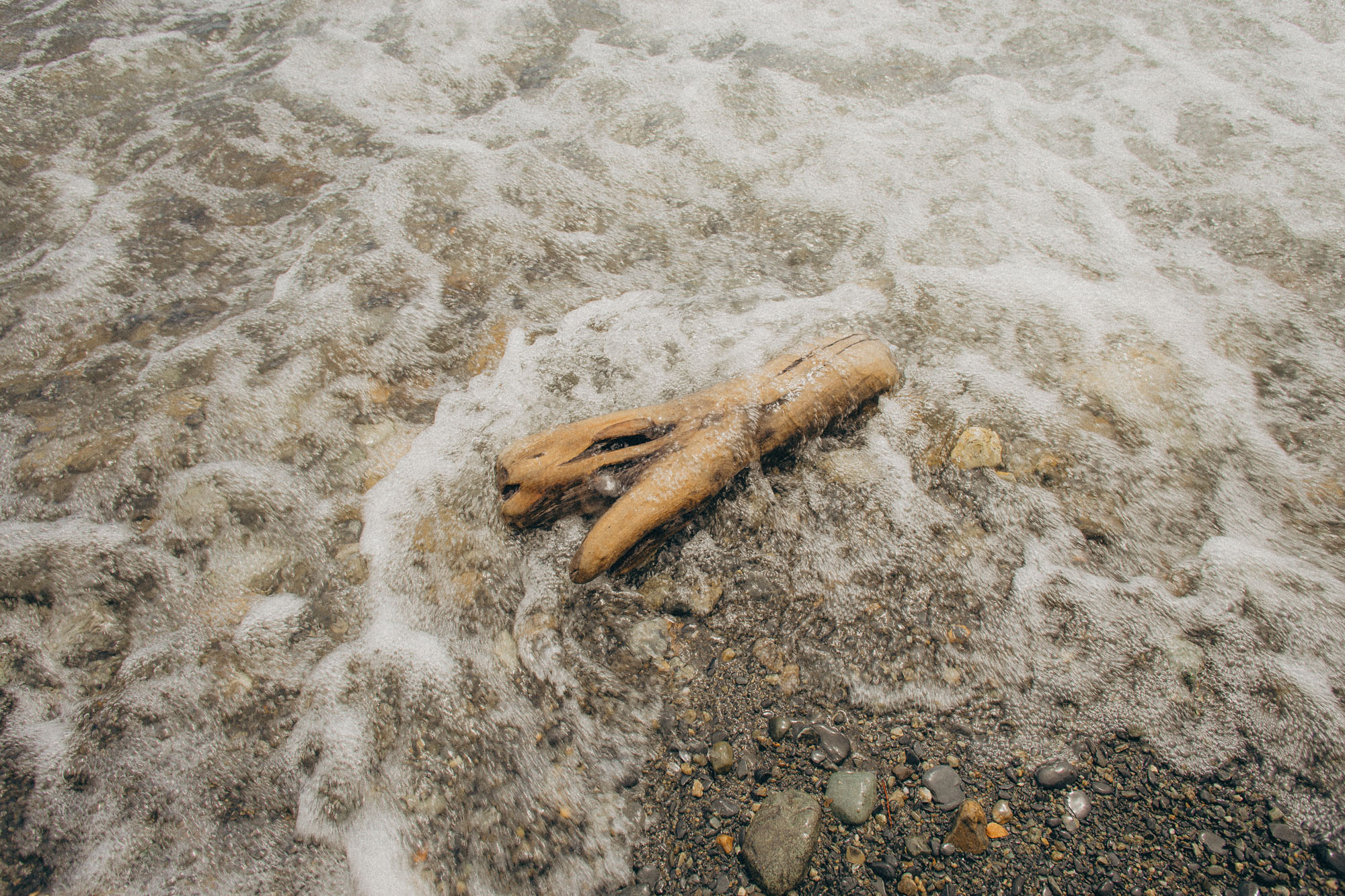
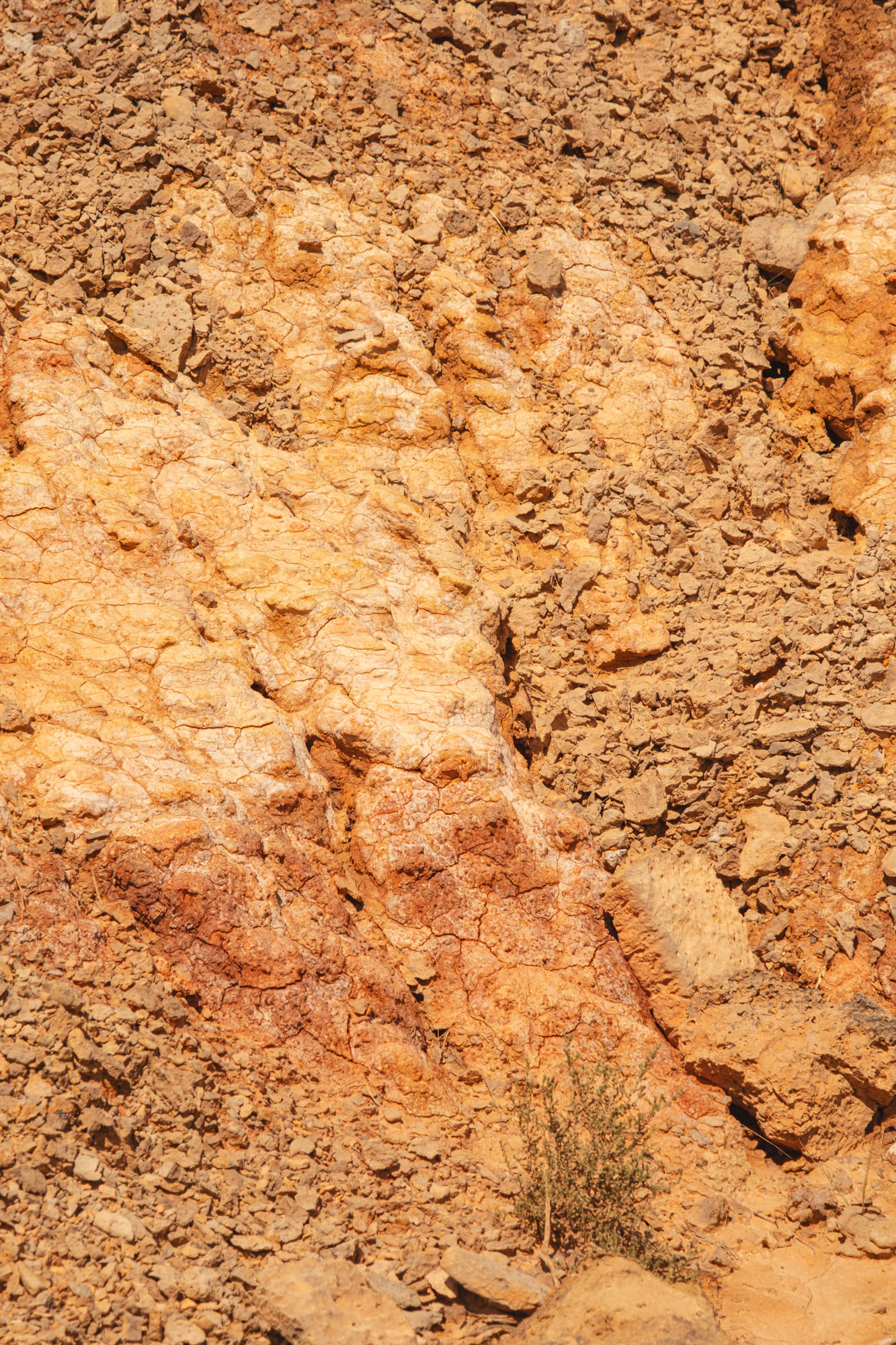
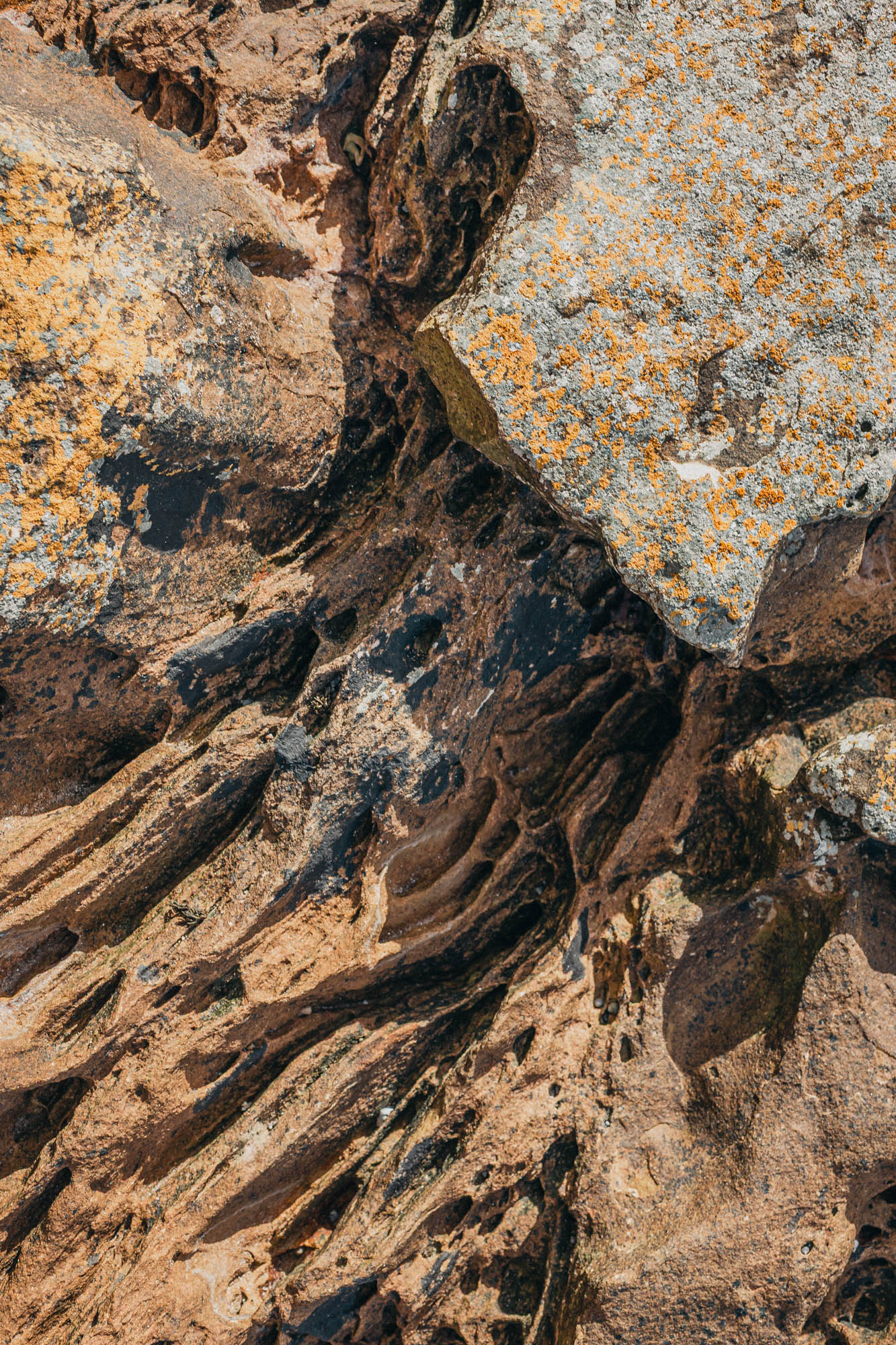
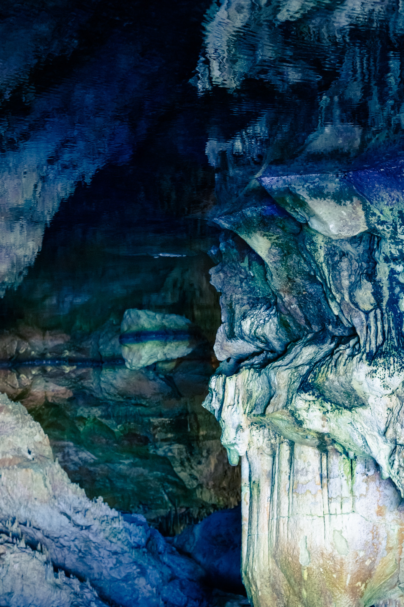
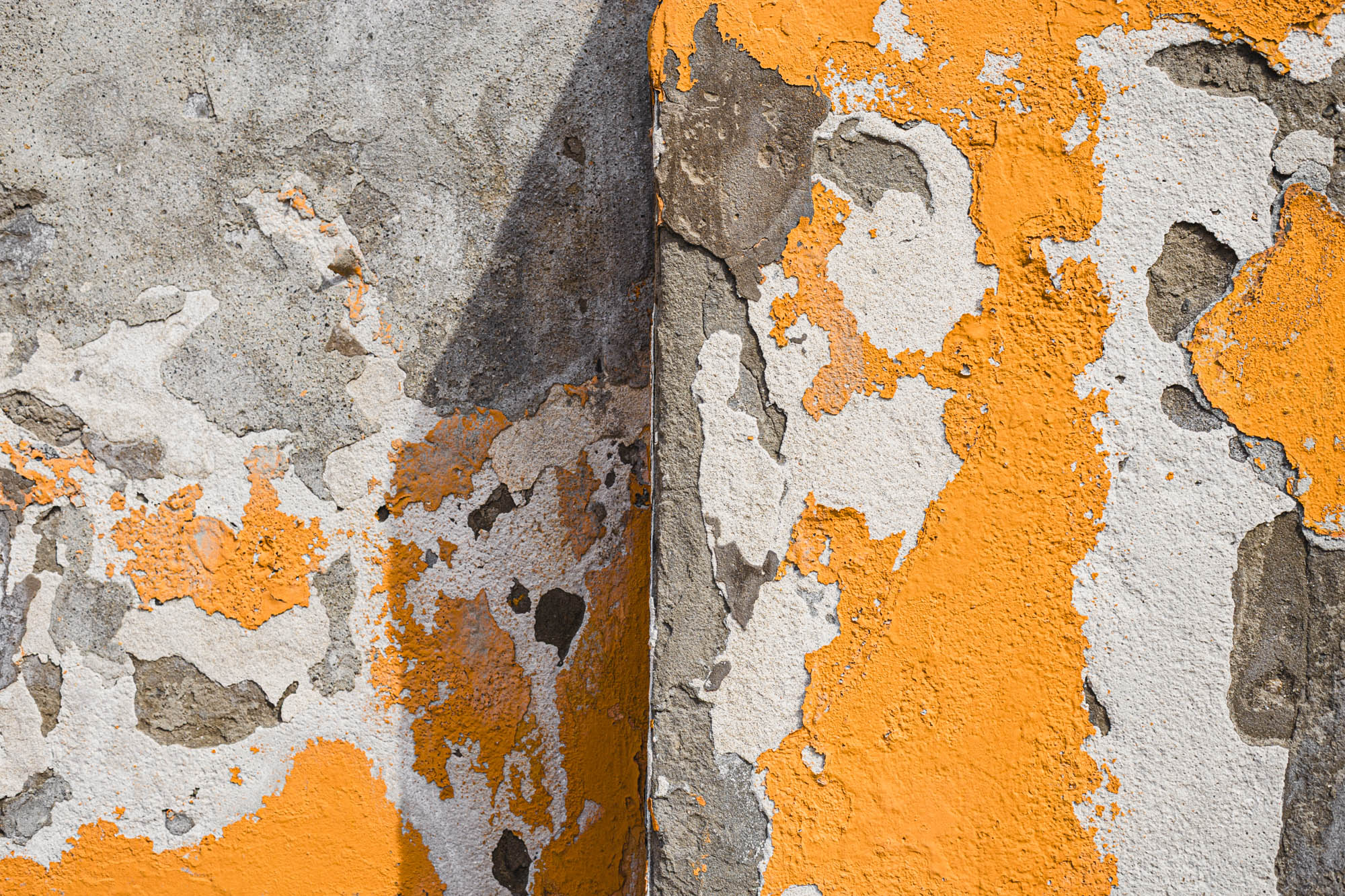
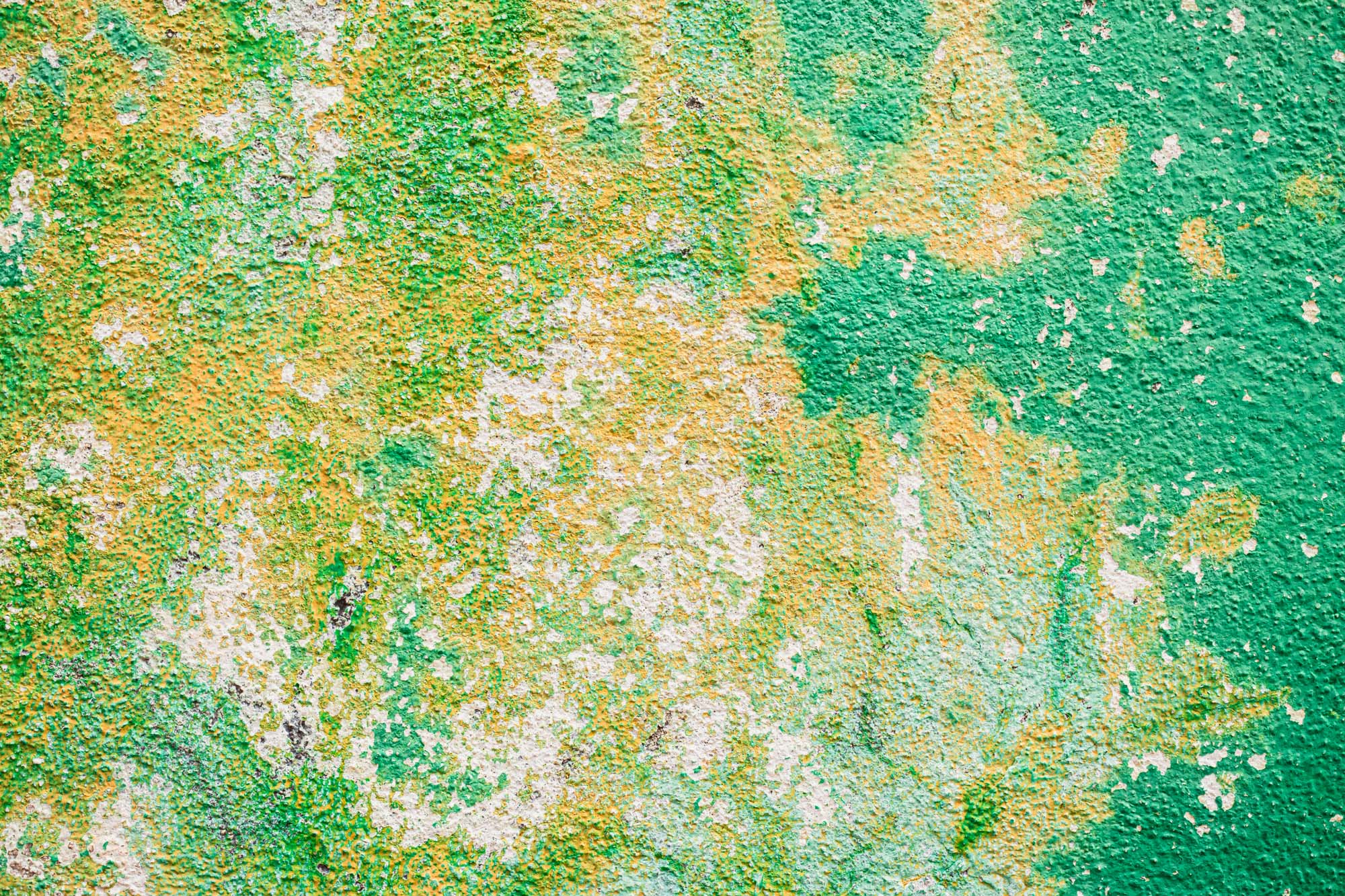
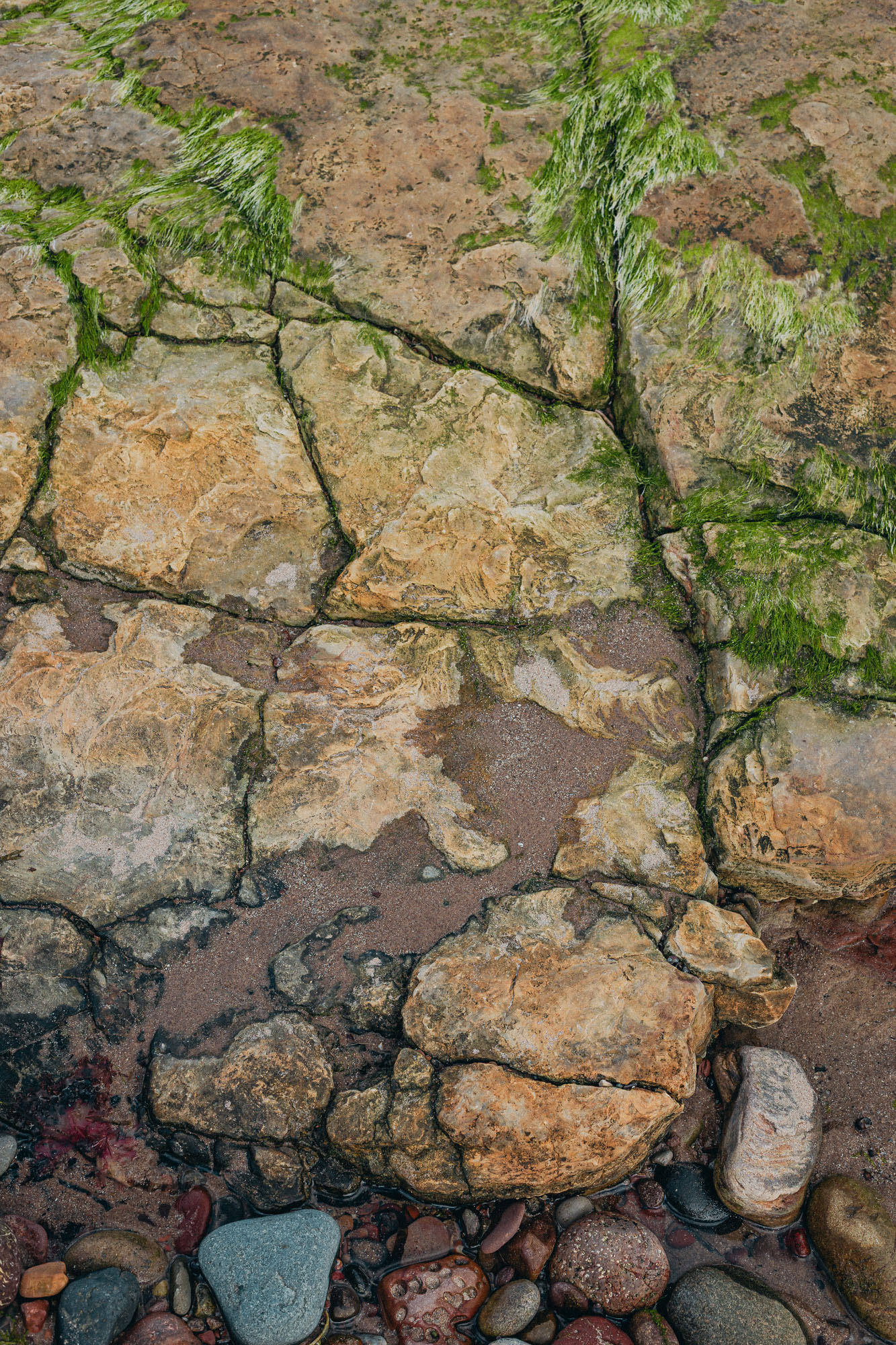
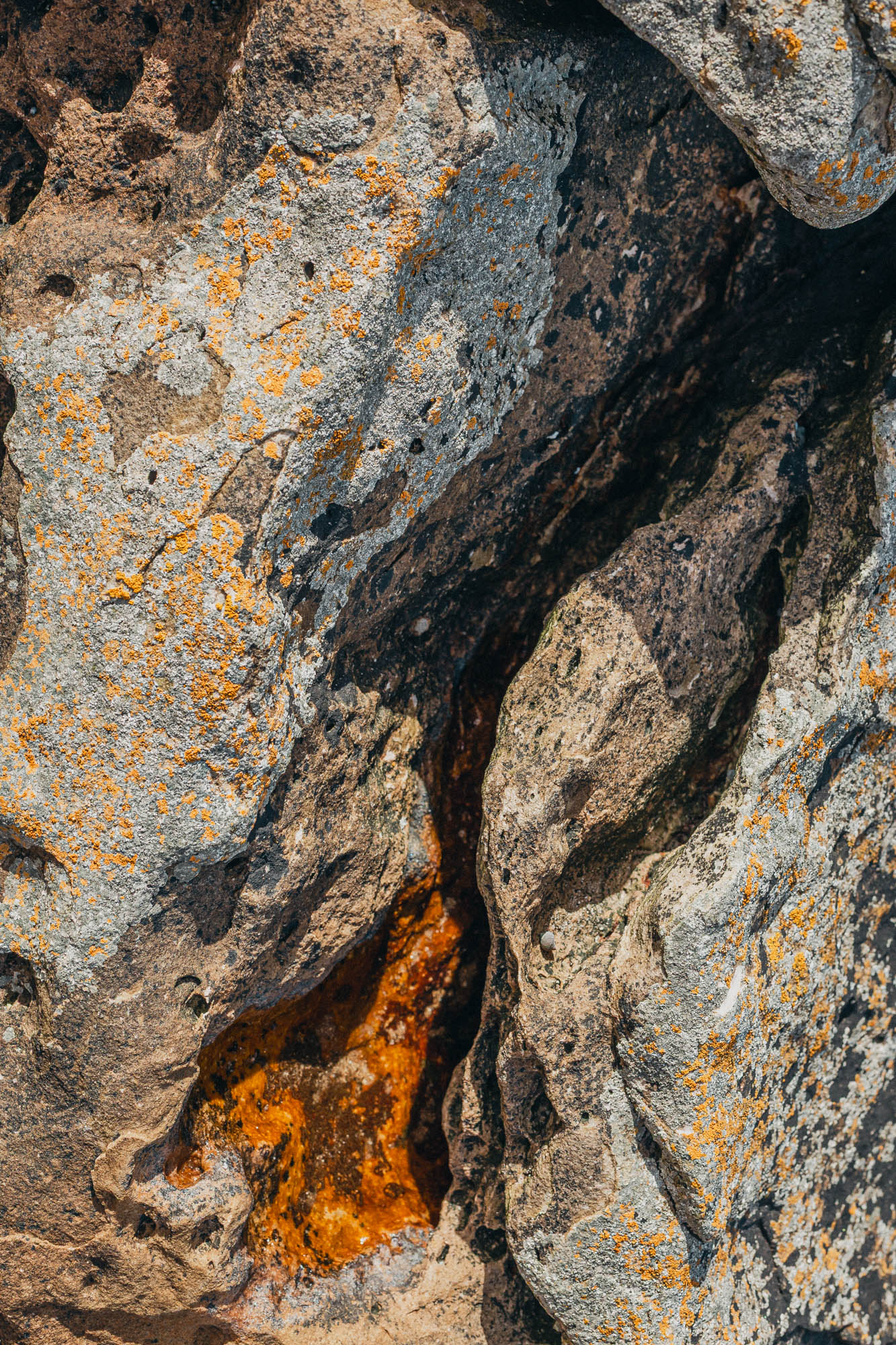
This visual investigation shifts attention to the subtle details and often invisible patterns that shape natural, urban, and architectural landscapes. By isolating and/or decontextualising fragments of the environment, it proposes a slower, more contemplative gaze, where silence and absence take on narrative weight.
Rather than seeking direct representation, it explores photography as a tool of perception, a way to question how we look, what we select, and how that experience shapes our relationship with the territory.
Prints of selected images are available for collectors and admirers, allowing the work to inhabit new spaces.